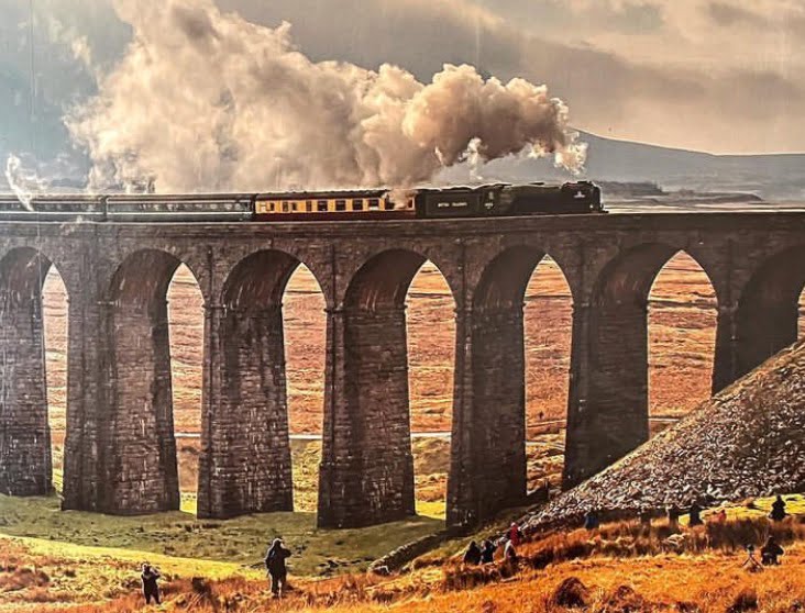
Many names tell a story about the way the land lies. Twisleton is such a name. The word means a settlement (old English: ‘tun’) on either a fork in a river (‘twisla’) or a boundary (Scandinavian: ‘twistle’). There is no surviving settlement called Twisleton but a quick browse of the name on the internet demonstrates its association to this day with so-called Twisleton Scars. These are part of the descent towards Ingleton from Whernside, the highest of the Three Peaks in the Yorkshire Dales, near to the Lancashire border.
Alongside Twisleton Scars lie Twisleton Lane and the former Twisleton Hall. The latter is the midpoint on the popular five mile circular Waterfalls Walk that starts from Ingleton. This walk also follows the River Twiss, most probably named by association with the historic community of Twisleton rather than vice versa.
One other claimant to the Twisleton homeland is Twiston, possibly abbreviated from Twisleton, a few miles on the other side of the Lancashire border near Blackburn.
The West Riding Victoria County History mentions William of Twyselton holding lands near Ingleborough in 1316. This takes my association with Craven back over 25 generations to the troublesome reign of King Edward II when the inhabitants of Twyselton saw the Scots descend upon them.